current activities
FIELD WORK
|
|||
1 / 6

2 / 6

3 / 6

4 / 6

5 / 6

6 / 6
|
|
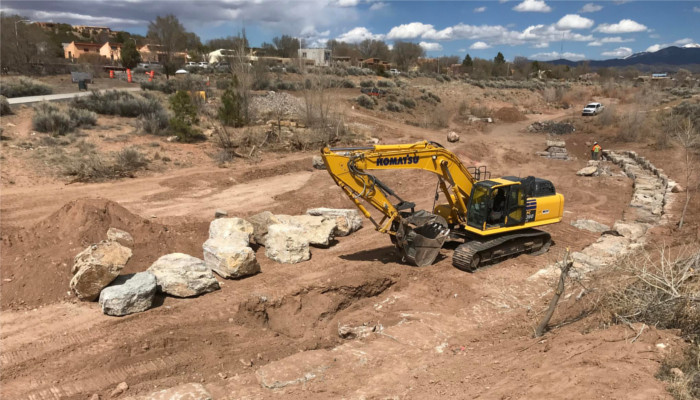
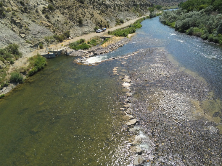
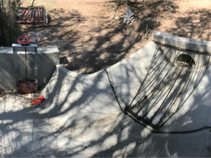
SANTA FE RIVER FLOOD REPAIR A design team comprising Sites Southwest and William J. Miller Engineers, Inc. prepared the construction drawings necessary for the repair and stabilization of twelve (12) erosion areas. Heavy machinery is being used to repair/construct three (3) modified boulder cross vane structures, 210 linear feet of grouted boulder bank protection, three (3) boulder clusters, and two (2) stormwater rundown channels with “zuni bowl” structures. Existing structures are being repaired, with additional boulders and grout where necessary to ensure long-term resiliency against flooding and erosion. Disturbed areas are to be stabilized and re-planted with native willows and cottonwood poles.
|
1 / 3

2 / 3

3 / 3
|
|
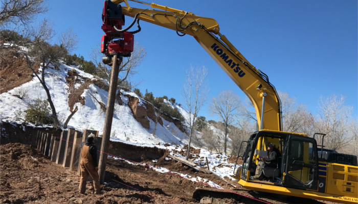
MISCELLANEOUS - 2020 1 of 3: Geotechnical Investigation, Bureau of Reclamation, Nambe; 2 of 3: URGWOM Technical Team Winter Field Trip, Snow Survey, Santa Fe National Forest; 3 of 3: Sheet Pile Dam Installation, Acequia de los Ortiz de Nambe Diversion Dam.
|
completed projects
|
featured projects
 |
 |
 |
|||
|
ACEQUIA DEL LLANO DIXON |
ACEQUIA DEL MONTE DEL RIO CHIQUITO |
ACEQUIA DE LA COMUNIDAD |